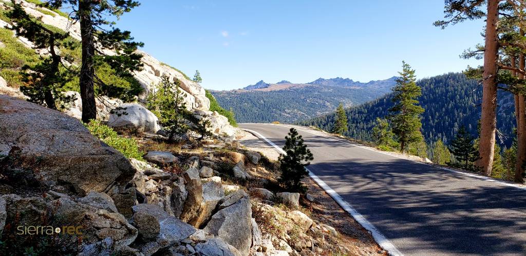
The pass connects the communities of Sonora to the west and Bridgeport to the east. Like Ebbetts Pass to the north and Tioga Pass to the south, the highway closes during winter, generally between November and May, due to snow accumulation.[4]
The highway over the pass is extremely steep (exceeding 8% for most of the traverse, and up to 26% grades in some locations), narrow and winding between Kennedy Meadows on the west side and Leavitt Meadows on the east. The route is not recommended for vehicles or vehicle combinations that are unusually wide, heavy or long.
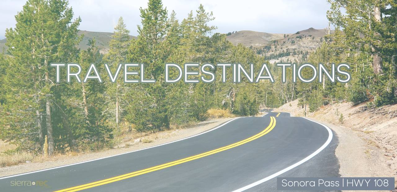
View of the Sierra Nevada range and Sonora Peak looking northward from Sonora Pass.
The Pacific Crest Trail, a 2,650 mile (4,240 km) long National Scenic Trail, crosses Highway 108 at Sonora Pass.
Adjacent to the Pass is a picnic/parking area, which serves as a day-use rest stop or a trailhead for hikes to nearby Sonora Peak, Wolf Creek Lake, and other spots north or south along the Pacific Crest Trail.