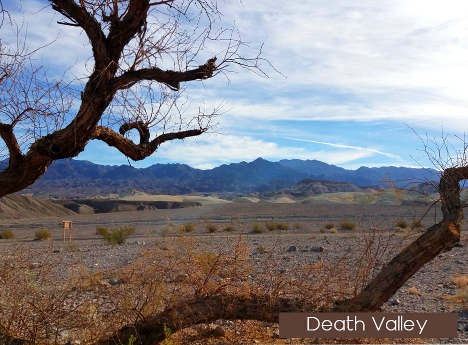
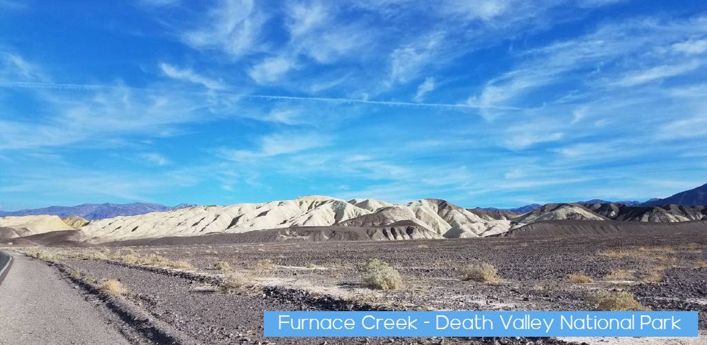
Death Valley is the largest U.S. National Park outside Alaska at 3.4 million acres. Nearly 1000 miles of paved and dirt roads provide access to locations both popular and remote. Even so, 91% of the park is protected as officially designated Wilderness. That wild country includes low valley floors crusted with barren salt flats, rugged mountains rising as much as 11,000 feet, deep and winding canyons, rolling sand dunes, and spring-fed oases. Whether you have an afternoon or a week, careful planning will help make your visit safe and enjoyable.
Hiking
| There are few constructed trails here, but in a place this desolate you usually don’t need them. Most hiking routes in the park are cross-country, up canyons, or along ridges. Hiking seasons The best time to hike in Death Valley is from November through March. Summer temperatures can be dangerous in the park’s lower elevations. Even during spring and autumn the heat can be unbearable for most people. Save the low elevation hikes for the cooler winter days. The high peaks are a pleasant escape from the heat in summer, but are usually covered with snow in the winter and spring. Water Due to the dry climate of Death Valley, you must drink more water here than in other places, even in the cooler winter months. Always carry adequate water (at least 2 liters for a short winter dayhike, 1 gallon or more for longer warm season hikes and overnighters). Springs are rare and should not be considered reliable. Boil or treat water from these sources before using. |
Easy Hikes
Harmony Borax Works: 0.4 mi (0.6km)
Salt Creek Interpretive Trail: 0.5 mi (0.8km)
Badwater Salt Flat: 1 mi (1.6km)
Natural Bridge: 1 mi (1.6km)
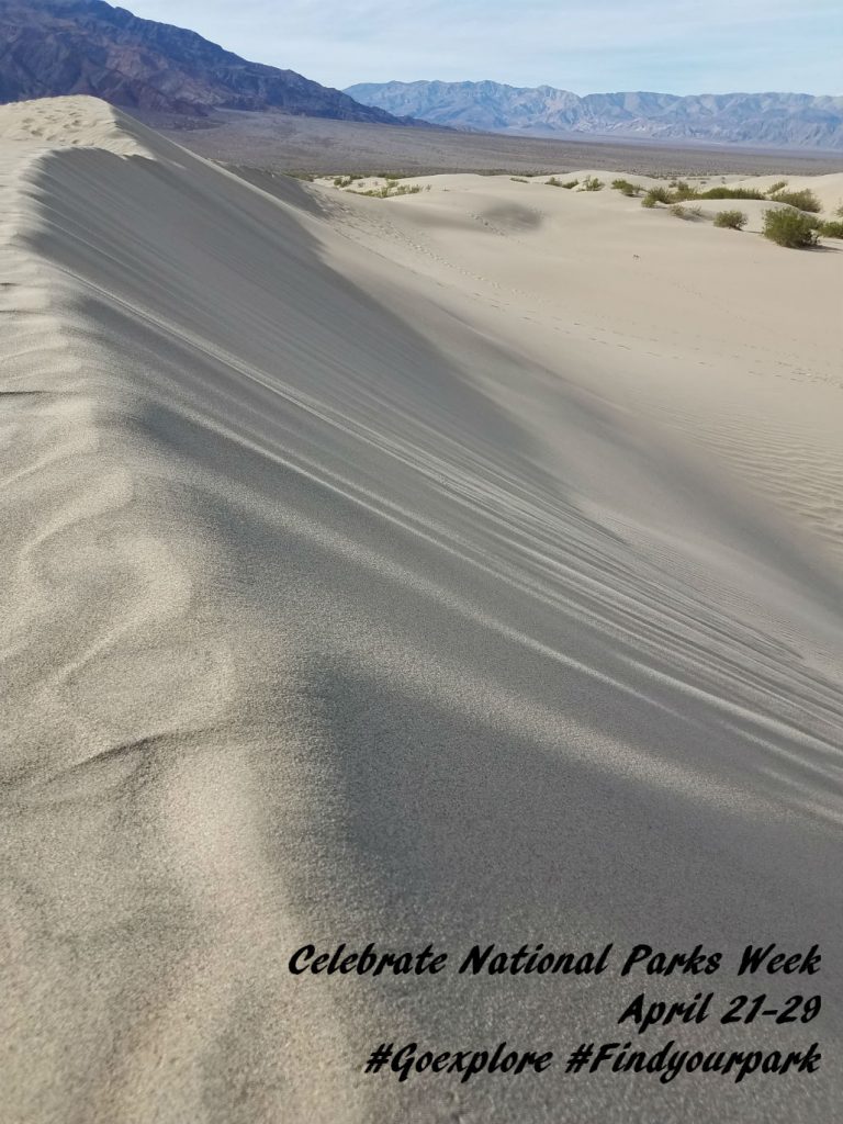
Mesquite Flat Sand Dunes: 2 mi (3.2km)
Moderate Hikes
Ubehebe Crater Loop: 1.5 mi (2.4km)
Darwin Falls: 2 mi (3.2km)
Badlands Loop: 2.7 mi (4.3km)
Golden Canyon: 3 mi (4.8km)
Desolation Canyon: 3.6 mi (5.8km)
Mosaic Canyon: 4mi (6.4km)
Willow Canyon: 4.2 mi (6.8km)
Gower Gulch Loop: 4.3 mi (6.9km)
Sidewinder Canyon: 5 mi (8.4km)
Fall Canyon: 6 mi (9.6km)
Dante’s Ridge: 8 mi (13km)
Difficult Hikes
Panamint Dunes: 7 mi (11.3km)
Little Bridge Canyon: 7 mi (11.2km)
Corkscrew Peak: 8 mi (12.9km)
Wildrose Peak: 8.4 mi (13.5km)
Telescope Peak: 14 mi (22.5km)


