Life at 200 feet below sea level.
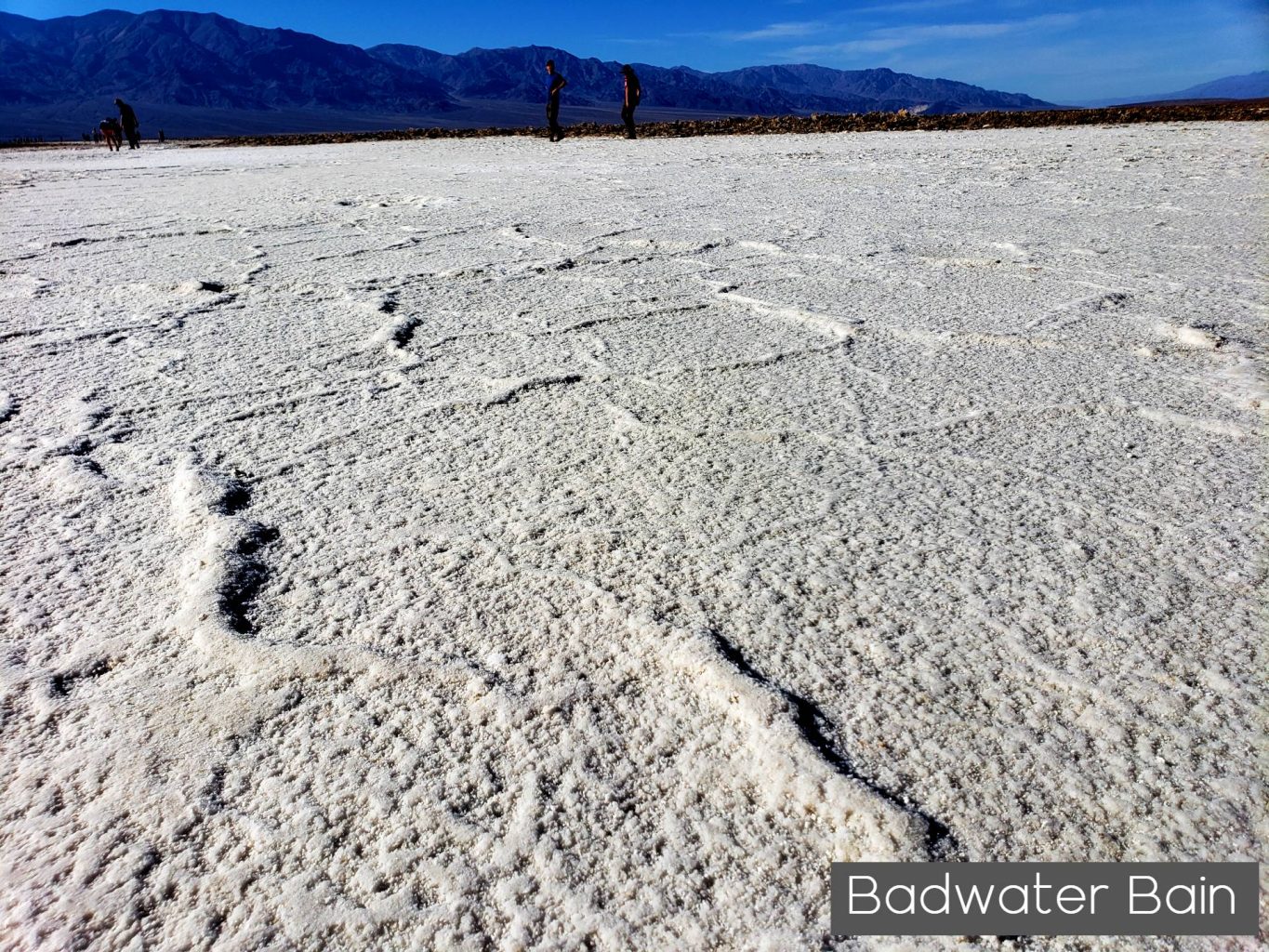
Badwater Basin in Death Valley – The lowest point in North America at 282 feet below sea level, is filled with vast, cracked salt flats that cover the nearly 200 square miles. The intricate salt crystals form surreal patterns across the immense landscape.
“I have visited Badwater Basin in the dark of night and in the blazing sun of a warm fall afternoon. What an incredible spot on Earth. So foreign and unique” Charlie Pankey – Publisher Sierra Rec Magazine
Stories suggest that Badwater Basin earned its name when a mule belonging to an early surveyor refused to drink from the spring-fed pool near the present-day boardwalk. However, the water here is not truly “bad,” just very salty. Despite this high salinity, many organisms not only survive, but thrive here. The pool is home to an endemic snail naturally found only at this location, and its rim is dotted with salt tolerant plants, including pickleweed.
Badwater Basin was once the site of the large ancient inland Lake Manly which evaporated tens of thousands of years before the arrival of the 1849er for whom it was named. The lake had no outlet, leading to the accumulation of sediment and salt over time. When the lake eventually evaporated, concentrated salt deposits were left behind. Today, fascinating geometric salt polygons form on the flats as groundwater rises up through these deposits and evaporates.
The pool and boardwalk are easily accessible from the parking lot off Badwater Road, but the best views of the salt polygons require an easy 1.5-2 mile (2.4-3.2 km) roundtrip walk out onto the salt flats. Be sure to look up on the cliffs of the Black Mountains to the east; here you will see a sign high above, indicating sea level. Also take a moment to pick out Telescope Peak in the Panamint Range to the west; at 11,049 ft (3, 368 m), this peak is over two miles (3.2 km) above you. Nowhere else in America can you see such a dramatic vertical relief over such a close distance.


Hiking Badwater Basin in Death Valley
HIKING NOT ADVISED AFTER 10AM IN THE SUMMER
Round Trip Length: 1 mile (1.6km) to edge of salt flat
Round Trip Time: 40 minutes
Difficulty: Easy
Elevation Gain: Flat
Trail Type: Boardwalk then route, out and back
Location: Badwater Road, 30 minutes (17 miles/27km) south of Furnace Creek
Parking: Paved parking lot with large spaces for RVs and buses
Closest Restroom: Vault toilet located in parking lot
Route: An ADA accessible ramp leads down to a wooden boardwalk. The walking surface is firm and wide beyond the boardwalk.

Leave a Reply