Forest Service releases Record of Decision for revised Lake Tahoe Basin Management Unit Land Management Plan
SOUTH LAKE TAHOE, CALIF. – A Record of Decision (ROD) regarding the revised Land Management Plan for the U.S. Forest Service Lake Tahoe Basin Management Unit (LTBMU) was signed by Pacific Southwest Regional Forester, Randy Moore on June 20, 2016. The revised Plan will guide projects and activities on National Forest System lands around Lake Tahoe over the next 15 years. It is anticipated that the notice announcing this decision will be published in the Federal Register on July 1, 2016. The Plan will become effective 30 days after the Federal Register notice and the Forest Service will begin transitioning to the revised management direction. This revised Plan will replace the 1988 Land Management Plan as well as all amendments that were made over the years, including the 2004 Sierra Nevada Forest Plan Amendment.
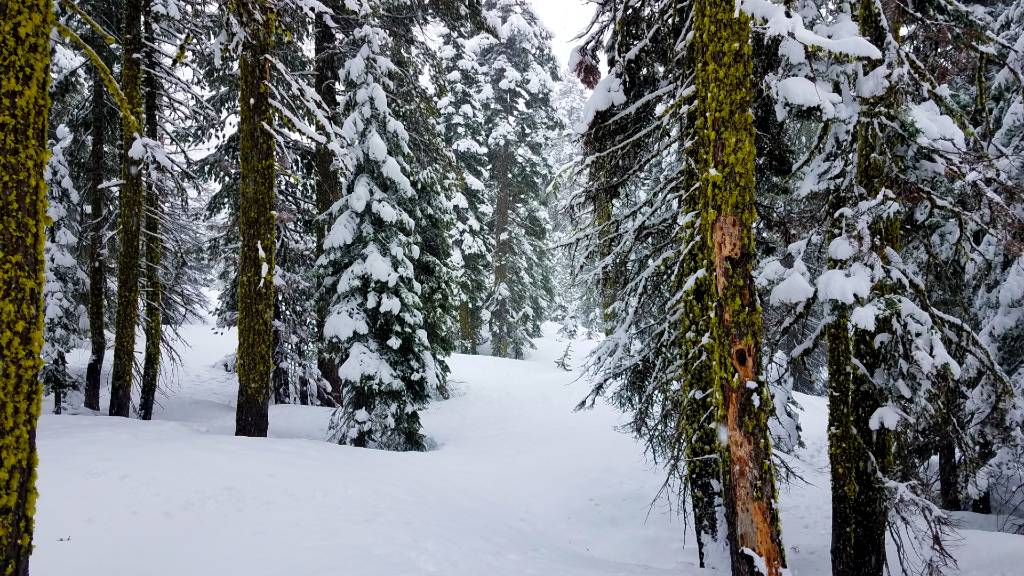
Overall, the LTBMU Plan continues management of the approximately 155,000 acres of National Forest System lands in the Lake Tahoe Basin with a balanced approach similar to the 1988 Plan, but applies contemporary science, recognition of a changing climate, and streamlined management direction. The Plan emphasizes restoration of ecosystem health and natural ecosystem processes, while providing a broad range of recreation opportunities, all while protecting the spectacular scenic character so highly valued by residents and approximately 5.7 million annual visitors.
The LTBMU began the Forest Plan revision process in 2004. Public involvement opportunities began with an inter-agency collaborative process called Pathway 2007. Through Pathway 2007, the partner agencies and the public developed a shared vision for Lake Tahoe. As a result of Pathway 2007, the LTBMU Plan, Tahoe Regional Planning Agency’s 2012 Regional Plan, and California and Nevada water quality management plans create an integrated approach to managing the entire Lake Tahoe Basin.
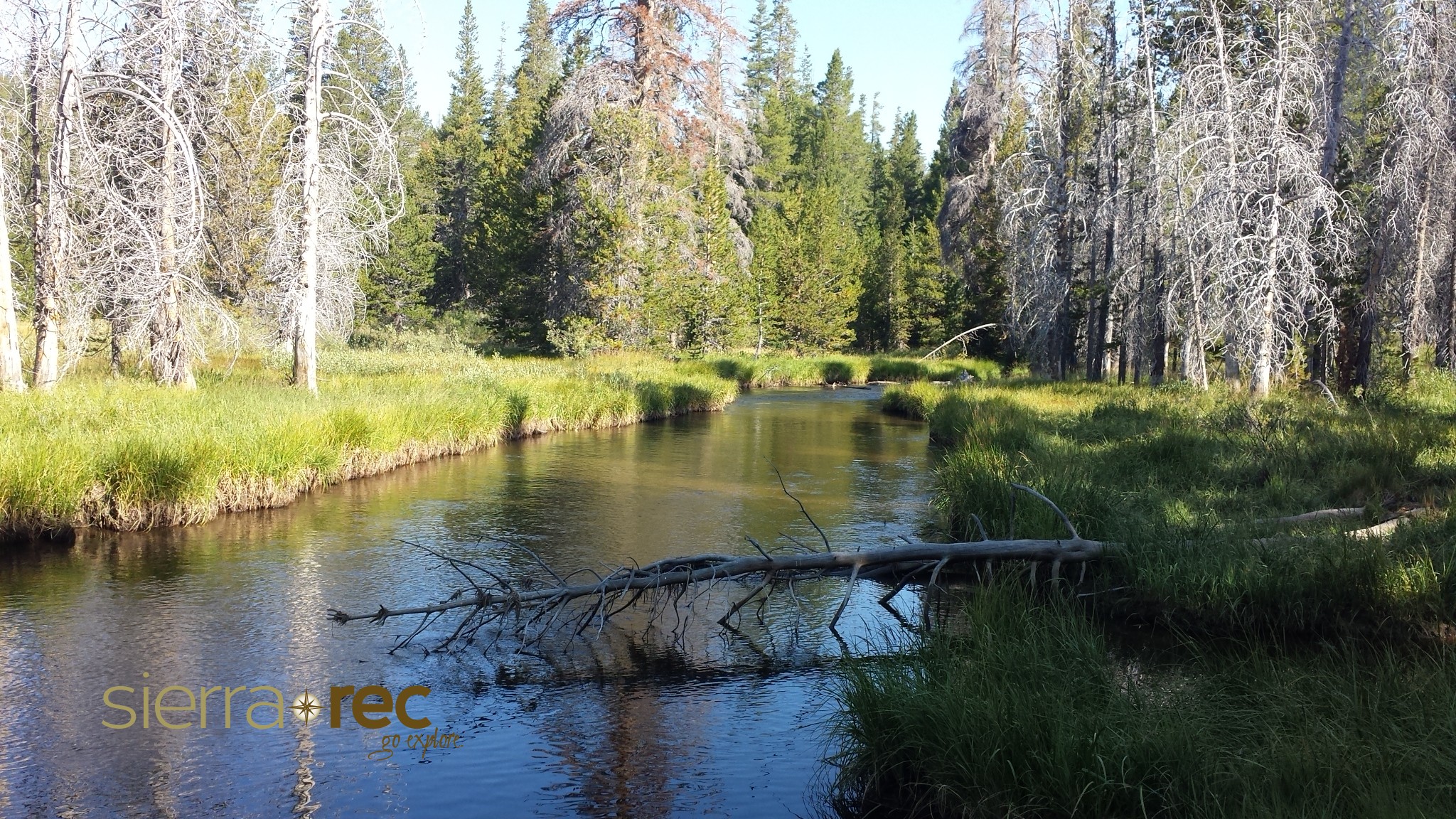
Under the new Plan, the management of the existing Desolation, Granite Chief and Mt. Rose wilderness areas within the basin remains the same. While the Plan does not recommend any new wilderness areas, it does identify 50,084 acres on the West Shore of Lake Tahoe as the Stanford Rock Backcountry Management Area, emphasizing natural environmental processes, dispersed recreation, and limited management. The Plan affirms the 1999 Wild and Scenic River recommendation for seven miles of the Upper Truckee River and also identifies three Upper Truckee tributaries as well as Taylor Creek, Eagle Creek and Glen Alpine Creek as eligible for further suitability study.
The Plan allows for an approximate five to 10 percent increase in developed recreation site capacity in areas such as campgrounds and day-use parking, which is less than was allowed under the 1988 Plan. Road and trail systems and uses remain similar to their current existence, representing a range of opportunities for motorized, non-motorized and mechanical travel.
“It has been a long road getting to this point,” said LTBMU Forest Supervisor, Jeff Marsolais. “But, I think we have a comprehensive and collaborative plan that will serve Lake Tahoe well into the future.”
The ROD and the Plan, along with the Final Environmental Impact Statement (FEIS) and supporting documents, may be found on the LTBMU website at http://www.fs.usda.gov/goto/ltbmu/ForestPlanRevision. Digital or paper copies will be available at the LTBMU Forest Supervisors Office, 35 College Drive, South Lake Tahoe, CA 96150.