Explore the Sierra’s Wild Spine
Between Lake Tahoe and Yosemite lies one of California’s least appreciated hiking regions. While millions of visitors flock to the famous destinations on either end, the Central Sierra remains a landscape of alpine passes, quiet wilderness and mountain highways that lead to some of the finest hiking in the Sierra Nevada.
This is the Sierra’s wild spine.
Stretching from Carson Pass to Sonora Pass, the Central Sierra is connected by the Pacific Crest Trail and anchored by three remarkable wilderness areas—the Mokelumne, Carson-Iceberg and Hoover Wilderness. Alpine County’s slogan proudly proclaims “One Person Per Square Mile,” and once you step onto these trails, it’s easy to understand why. Solitude isn’t something you have to search for here—it’s simply part of the experience.
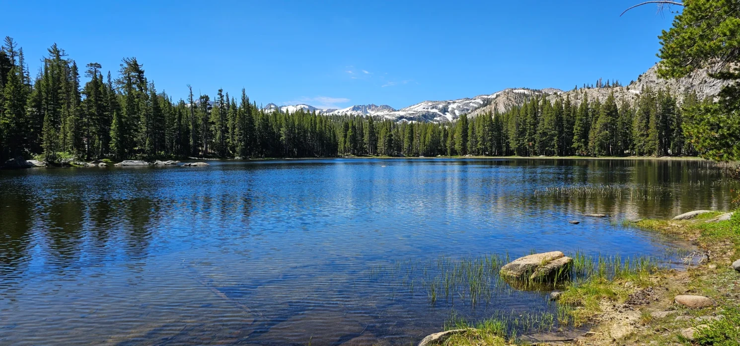
Unlike the dramatic canyon country of the Eastern Sierra or the iconic destinations surrounding Lake Tahoe and Yosemite, the Central Sierra rewards hikers who enjoy discovering places that don’t make every Top 10 list. High mountain passes, alpine lakes, volcanic ridges and broad mountain basins create a landscape that feels surprisingly wild considering its location between two of California’s busiest outdoor destinations.
If you’re looking for a quieter Sierra experience, you may discover that this becomes the region you return to year after year.
Quick Facts
Best Season: June through October (depending on snowpack)
Best For: Alpine lakes, Pacific Crest Trail access, backpacking, wildflowers, scenic mountain passes
Primary Gateways: Carson Pass (Highway 88), Ebbetts Pass (Highway 4), Sonora Pass (Highway 108)
Top Wilderness Areas: Mokelumne Wilderness, Carson-Iceberg Wilderness, Hoover Wilderness
Signature Trail: Pacific Crest Trail
Choose Your Sierra Pass
Carson Pass – Highway 88
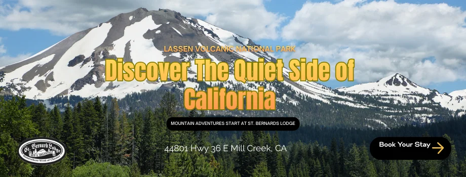
Carson Pass is one of California’s most accessible alpine trailheads, offering spectacular hiking immediately from the highway. The Pacific Crest Trail, Meiss Country, and Mokelumne Wilderness all converge here, making this one of the best places in the Sierra for both day hikes and backpacking adventures.
Highlights
- Caples Lake
- Silver Lake
- Winnemucca Lake
- Fourth of July Lake
- Round Top
- Meiss Country
- Mokelumne Wilderness
- Pacific Crest Trail

Ebbetts Pass – Highway 4
California’s least-traveled Sierra crossing may also be its most rewarding. Ebbetts Pass winds through the Carson-Iceberg Wilderness where alpine lakes, volcanic ridges and quiet valleys create outstanding hiking with remarkably few crowds.
Highlights
- Blue Lakes
- Granite Lake
- Wolf Creek
- Bear Lake
- Highland Lakes
- Gardner Meadow
- Carson-Iceberg Wilderness
- Pacific Crest Trail

Sonora Pass – Highway 108
The highest highway crossing in the Sierra Nevada opens the door to some of California’s wildest country. Leavitt Meadows, Hoover Wilderness and the upper reaches of the East Fork Carson River offer unforgettable hiking and backpacking opportunities.
Highlights
- Leavitt Meadows
- Leavitt Lake
- Roosevelt Lake
- Sonora Pass
- Hoover Wilderness
- Sonora Peak
- Pacific Crest Trail
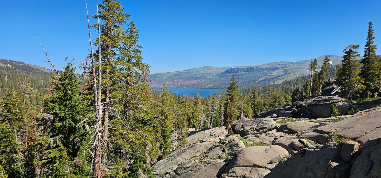
Signature Hiking Destinations
- Carson Pass
- Mokelumne Wilderness
- Meiss Country
- Blue Lakes
- Carson-Iceberg Wilderness
- Highland Lakes
- Leavitt Meadows
- Leavitt Lake
- Hoover Wilderness
- Pacific Crest Trail
Favorite Day Hikes
| Trail | Area | Difficulty |
|---|---|---|
| Winnemucca Lake | Carson Pass | Easy–Moderate |
| Fourth of July Lake | Carson Pass | Moderate |
| Meiss Country Trail | Carson Pass | Moderate |
| Granite Lake | Blue Lakes | Moderate |
| Wolf Creek | Carson-Iceberg Wilderness | Moderate |
| Bear Lake | Carson-Iceberg Wilderness | Moderate |
| Gardner Meadow Loop | Highland Lakes | Moderate |
| Leavitt Lake | Sonora Pass | Easy |
| Leavitt Meadows to Roosevelt Lake | Hoover Wilderness | Moderate |
| Pacific Crest Trail – Blue Lakes to Sonora Pass | Central Sierra | Challenging |
| Sword Lake | Sonora Pass | Moderate |
| Dardanelles Lake | Sonora Pass | Moderate |
Favorite Backpacking Adventures
- Hoover Wilderness to Long Lake
- Hoover Wilderness into Northern Yosemite
- Leavitt Basin
- East Fork Carson River High Route
- Fourth of July Lake
- Granite Lake
- Emigrant Lake
- Sword Lake
- Dardanelles Basin
- Meiss Country
- Carson-Iceberg High Route
Why We Love the Central Sierra
The Central Sierra rewards curiosity.
This isn’t a region filled with famous bucket-list hikes or crowded trailheads. It’s a place where experienced hikers come to wander alpine basins, follow sections of the Pacific Crest Trail and spend long days exploring wilderness that somehow remains overlooked between Lake Tahoe and Yosemite.
What keeps drawing us back is the variety. One weekend might begin with wildflowers around Winnemucca Lake. The next could find you exploring the volcanic ridges above Blue Lakes or wandering through the open meadows of Hoover Wilderness. Every pass offers a different personality, yet they all share the same feeling—more room to explore and fewer people competing for the view.
For us, the Central Sierra isn’t simply the mountains between Tahoe and Yosemite. It’s the quiet spine that connects them, and one of the finest hiking regions in California for those willing to venture beyond the obvious destinations.
Continue Exploring the Sierra
The Central Sierra connects many of California’s greatest hiking regions.
- Heading north? Continue exploring Lake Tahoe Hiking, where the Tahoe Rim Trail, Desolation Wilderness and the lake’s iconic shoreline offer endless adventures.
- Traveling east? Discover the Eastern Sierra Hiking Guide, home to Highway 395, Mammoth Lakes, Bishop and the High Sierra’s legendary granite basins.
- Following Highway 108 west? Explore the Western Sierra Hiking Guide for waterfalls, giant sequoias, Emigrant Wilderness and the scenic gateways leading into the mountains.
- Continuing south? Our Yosemite Hiking Guide features the park’s classic trails, waterfalls and backpacking routes.