


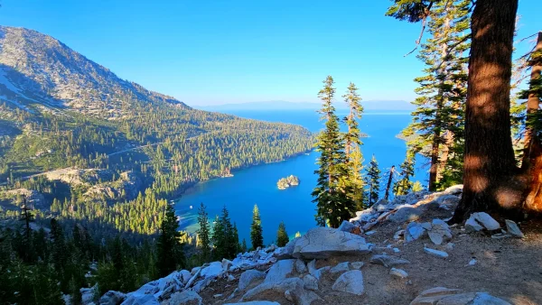
The Sierra Nevada, a mountain range that stretches across the eastern side of California, is home to some of the most breathtaking scenery in the United States. And what better way to experience this natural beauty than by taking a scenic drive along one of the many byways that crisscross the region?
Introducing the Sierra Nevada Scenic Byways
The Sierra Nevada Scenic Byways program recognizes a collection of exceptional roads that wind through mountains, valleys, and meadows, offering stunning vistas and unforgettable experiences. Each byway has its own unique character and charm, making them ideal for a variety of interests and travel styles.
Explore a World of Scenic Wonders
Here’s a glimpse of what you can expect on each of these incredible routes:
| Scenic Route | Description |
|---|---|
| HWY 395 (North to South – Eastern Sierra) | Experience breathtaking views of the Sierra Nevada along this iconic highway, winding through mountains, valleys, and charming towns. |
| Tioga Pass (HWY 120 – Yosemite National Park) | Journey through towering granite cliffs and lush meadows to reach the heart of Yosemite National Park on this scenic byway. |
| Sonora Pass – (HWY 108 – East to West) | Discover hidden gems and historic gold rush towns as you traverse this scenic pass between Sonora and Mono Lake. |
| Ebbett’s Pass – (Hwy 4 – East to West) | Embark on a historical adventure along this route, following the footsteps of early pioneers and enjoying stunning alpine vistas. |
| Monitor Pass (HWY 89 southern section – Connection Hwy 395 to HWY 4) | Connect the Eastern and Western Sierra Nevada on this scenic drive, offering diverse landscapes and outdoor recreation opportunities. |
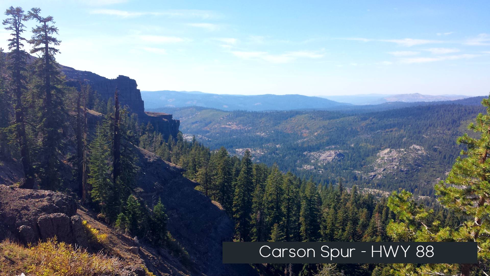
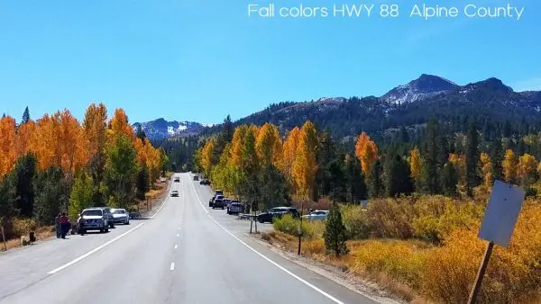
| Carson Pass – (HWY 88 East to West ) | Immerse yourself in the beauty of the high Sierra on this historic pass, known for its panoramic views and abundant wildlife. |
| Luther Pass (Hwy 89 – North to South Section Tahoe to Hwy 88) | Navigate between Lake Tahoe and the Carson Valley on this scenic route, offering stunning mountain vistas and access to outdoor activities. |
| Central Sierra Mountain Route 9 (Hwy 89 North to South ) | Explore the heart of the Sierra Nevada on this scenic highway, passing through charming towns, national forests, and volcanic landscapes. |
| Echo summit – (HWY 50 East to West Route) | Drive through the heart of the El Dorado National Forest on this scenic byway, offering access to hiking trails, lakes, and historical sites. |
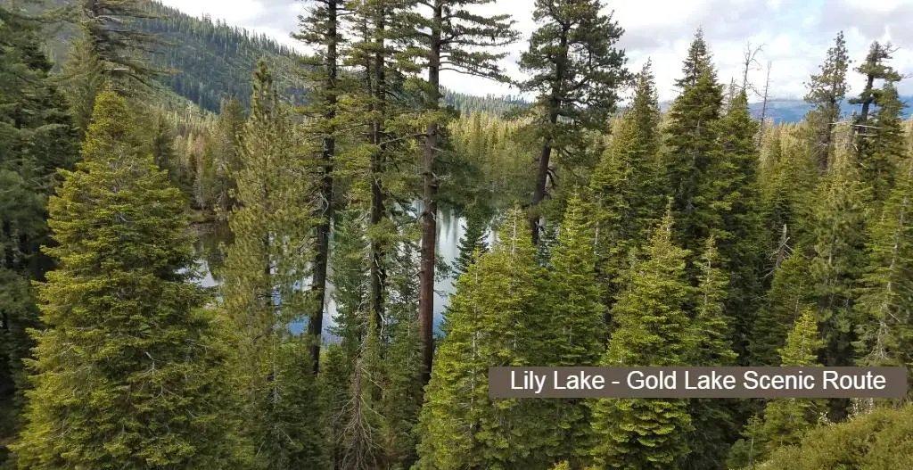
| Gold Country Route – HWY 49 – North to South on the West side of the Sierra. | Step back in time and explore the rich history of the California Gold Rush on this scenic route, lined with charming towns, gold mines, and vineyards. |

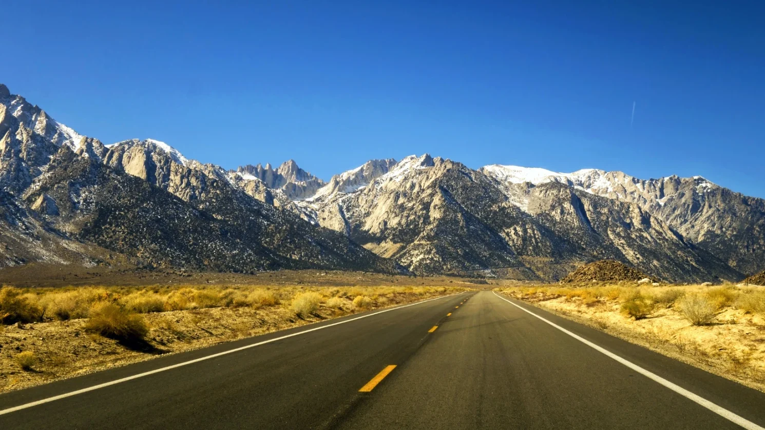
HWY 395 – The Eastern Sierra Scenic Drive
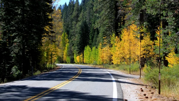
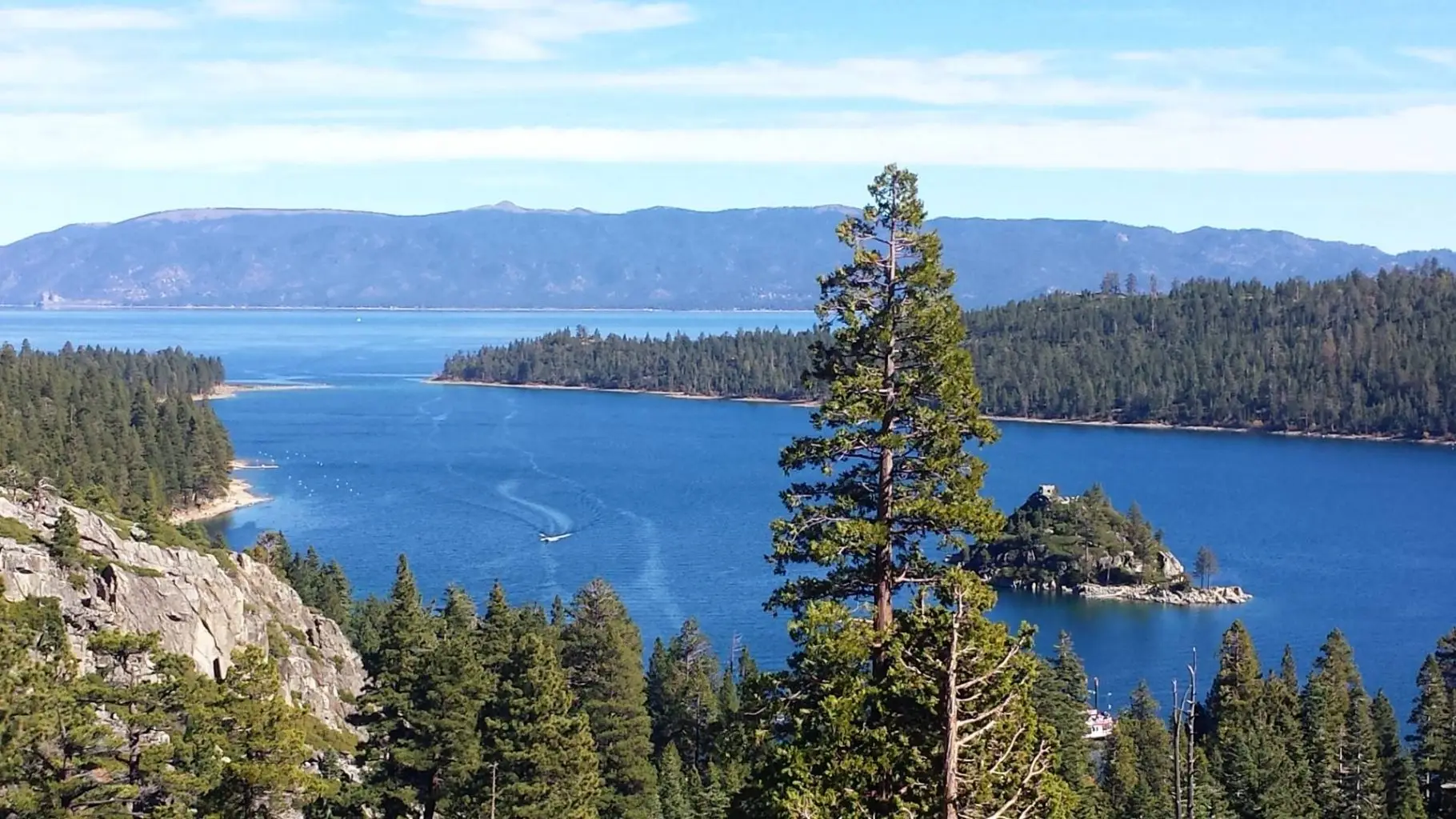
HWY 89 - The Heart of the Sierra
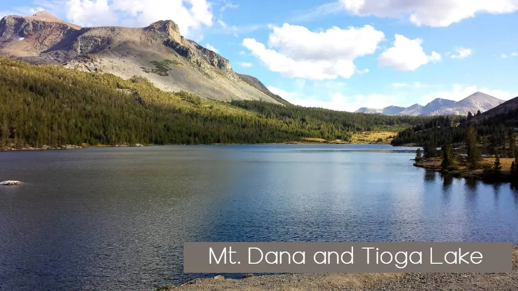
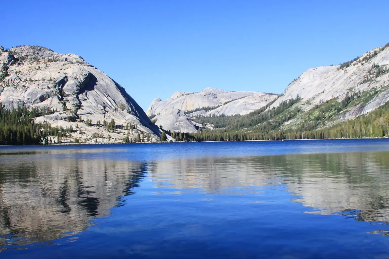
HWY 120 - Tioga pass the gateway to Yosemite High Country
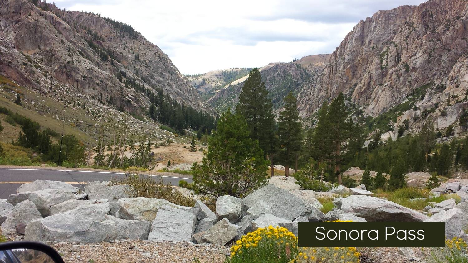
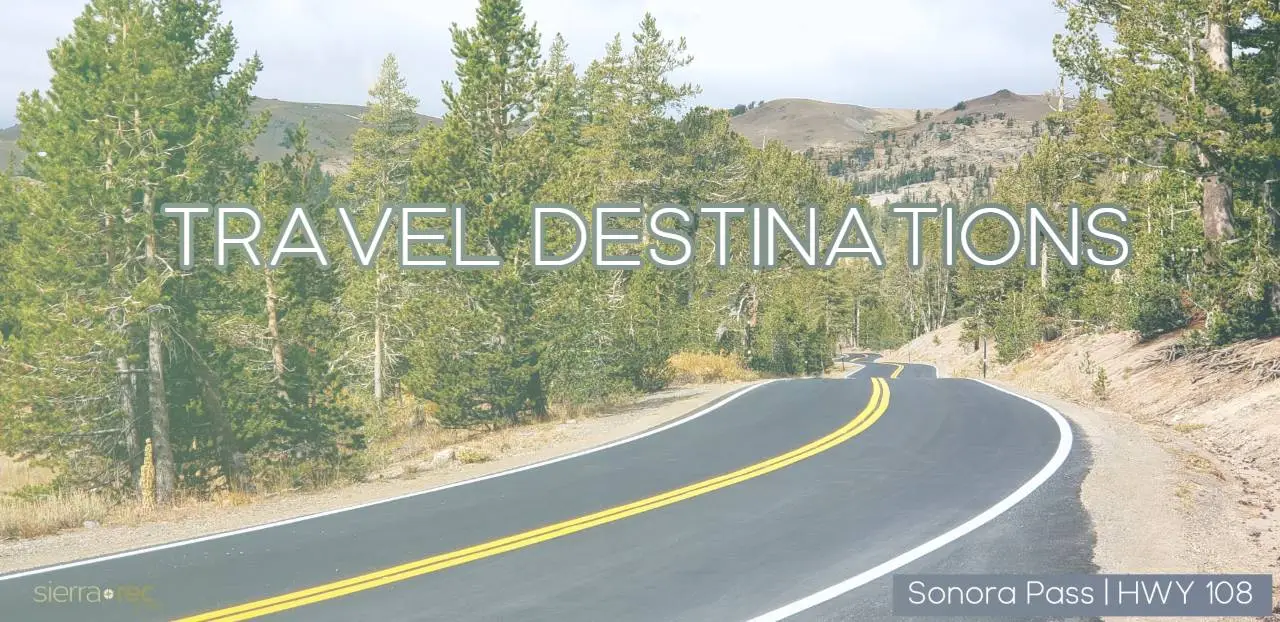
Hwy 108 - Sonora Pass

Sonora Pass, one of California’s highest mountain passes, offers an exhilarating drive through the Sierra Nevada. For every journey that begins at Sonora Pass, the road ahead leads not just through the Sierra Nevada, but into the heart of adventure itself.

Starting in the town of Sonora, this scenic route heads eastward, passing through the historic Gold Rush community of Twain Harte before climbing steadily through the pine-covered hills of Strawberry and Pinecrest. Travelers are treated to awe-inspiring views at Donnell Point, which overlooks the Stanislaus River Canyon. As the route ascends toward the pass, the landscape shifts to alpine meadows and rugged terrain. The pass itself, one of the highest in California, offers panoramic vistas of the surrounding Sierra Nevada peaks.
Descending on the eastern side, the highway weaves its way through the serene West Walker River Basin, providing stunning views of the rugged wilderness.
The 108 route is an essential access point to Kennedy Meadows and the nearby areas, which are popular for outdoor recreation, and eventually leads to the scenic towns near Mono Lake, such as Bridgeport.
Whether you’re in search of incredible mountain views, outdoor adventures, or the historical richness of the Gold Rush towns, Sonora Pass offers a thrilling journey into the heart of the Sierra Nevada.
- Length: 81 miles (from Sonora to the junction with Highway 395 at the east end)
- Best Time to Visit: Late spring through early fall (the pass is typically closed in winter due to snow, but it’s accessible from June to October, depending on snow levels)
Accommodations and Camping Recommendations:
Camping:
- Pinecrest Campground: Nestled near Pinecrest Lake, this campground offers lakefront views, hiking trails, and easy access to water activities, making it an ideal spot for families and outdoor enthusiasts.
- Donnell Lake Campground: Situated near Donnell Reservoir, this campground is perfect for fishing, boating, and hiking, with stunning views of the Stanislaus River Canyon.
- Kennedy Meadows Campground: Located at the base of the Sierra Nevada foothills, this campground provides access to both high country wilderness areas and lower-elevation trails, popular for hiking, fishing, and wildlife watching.
- Buck Meadows Campground: Located along the Sierra Nevada foothills, Buck Meadows offers a peaceful camping experience with nearby trails and fishing spots.
- West Walker River Campground: Situated along the West Walker River, this campground offers a serene environment for fishing, swimming, and relaxing, with easy access to hiking in the surrounding wilderness.
Lodging:
- The Sonora Inn (Sonora): A historic hotel in the heart of Sonora, perfect for those looking to explore the Gold Rush era. The inn offers modern amenities while preserving its charming historic character.
- The Twain Harte Inn (Twain Harte): A cozy inn offering a quiet retreat in the pines, with easy access to local restaurants, shops, and nearby outdoor activities.
- Pinecrest Chalet (Pinecrest): This rustic retreat offers both cabins and lodge rooms, with easy access to Pinecrest Lake and the surrounding wilderness for outdoor adventures.
- The Bridgeport Inn (Bridgeport): A charming historic inn in the quaint town of Bridgeport, offering comfortable accommodations with easy access to Mono Basin and the surrounding wilderness.
Best Hikes Along Sonora Pass (Highway 108)
Leavitt Meadow to Roosevelt Lake
- Distance: 3 miles one-way
- Difficulty: Moderate
- Elevation Gain: 500 feet
- Why It’s a Must-Do: This serene trail offers access to pristine alpine scenery, including Roosevelt Lake. Perfect for a peaceful trek through the Hoover Wilderness, it’s a favorite for backpackers and day hikers alike.
PCT Trail North into Carson-Iceberg Wilderness or South into Hoover Wilderness
- Distance: Varied lengths depending on your route
- Difficulty: Moderate to Strenuous
- Why It’s a Must-Do: Follow the famed Pacific Crest Trail from Sonora Pass for a variety of experiences. To the north, explore the rugged Carson-Iceberg Wilderness; to the south, traverse the dramatic landscapes of the Hoover Wilderness.
Kennedy Meadows to Kennedy Lake
- Distance: 7 miles one-way
- Difficulty: Moderate
- Why It’s a Must-Do: Starting from Kennedy Meadows, this trail meanders through stunning meadows and rocky landscapes, ultimately leading to the tranquil Kennedy Lake. It’s a fantastic option for hikers seeking solitude and high-country beauty.
Cleo’s Bath Trail via Pinecrest Lake Loop
- Distance: 8 miles round-trip
- Difficulty: Moderate
- Why It’s a Must-Do: A rewarding adventure starting with the Pinecrest Lake Loop, this trail leads to Cleo’s Bath, a hidden gem with cascading waterfalls and natural pools, perfect for a refreshing summer dip.
Gianelli Cabin to Powell Lake
- Distance: 2.1 miles one-way
- Difficulty: Moderate
- Elevation Gain: 500 feet
- Why It’s a Must-Do: This short yet stunning hike offers views of the high Sierra and leads to Powell Lake, an idyllic spot for fishing, picnicking, or simply enjoying the peaceful alpine environment.
Scenic Overlooks and Points of Interest Along Sonora Pass (Highway 108)
Columns of the Giants
- Location: Next to Pigeon Flat Campground, ~1.5 miles east of Dardanelle Resort.
- Why It’s a Must-See: A short, easy trail leads to a stunning display of columnar hexagonal basalt rocks, reminiscent of the Devil’s Postpile. These formations were created by ancient lava flows and polished by glaciers, offering a unique geological wonder.
Trail of the Gargoyles
- Location: Off Herring Creek Road, 6 miles from Highway 108.
- Why It’s a Must-See: Discover bizarre volcanic formations and panoramic views of the surrounding canyons. The cliffs along the trail showcase granite erratics, basalt columns, and formations like the “Wall of Noses.” Accessible via dirt roads, this spot is an adventure in itself!
Donnell Vista
- Location: ~45 miles east of Sonora on Highway 108.
- Why It’s a Must-See: A short trail leads to an overlook with breathtaking views of Donnell Reservoir, the Dardanelles Cones, and the Middle Fork of the Stanislaus River. Restrooms and interpretive signs enhance the experience.
Bennett Juniper
- Location: Eagle Meadow Road, ~13 miles from Highway 108.
- Why It’s a Must-See: Visit the oldest and largest known western juniper, estimated to be over 3,000 years old. Its massive, gnarled trunk and high-altitude location make it a remarkable living relic of the Sierra’s past.
Dodge Ridge Overlook
- Location: Near Aspen Meadow Pack Station, ~5 miles from Pinecrest.
- Why It’s a Must-See: A locally loved spot for sunset views over the Stanislaus River Canyon. The expansive panorama is perfect for an evening of quiet reflection or photography.
Deadman Creek Overlook
- Location: A mile east of Que de Porka on Highway 108.
- Why It’s a Must-See: An improved overlook with interpretive signs and expansive views of the rugged terrain around Deadman Creek.
Sonora Pass Summit
- Location: At the crest of Highway 108, 9,624 feet elevation.
- Why It’s a Must-See: The summit offers awe-inspiring views of Mono County to the east and the Sierra crest to the west. The Pacific Crest Trail crosses here, making it an excellent spot for short hikes to take in the alpine scenery.
Leavitt Meadow Overview
- Location: 6 miles east of Sonora Pass on Highway 108.
- Why It’s a Must-See: This unofficial overlook offers a sweeping view of Leavitt Meadow and the Sierra peaks beyond. Tower Peak, on Yosemite’s northeastern boundary, stands as a dramatic backdrop.
Trail of the Ancient Dwarfs
- Location: Near Eagle Meadow Road and Niagara Creek Campground.
- Why It’s a Must-See: A half-mile trail showcasing ancient dwarf trees and stunning views of the Middle Fork Stanislaus River Canyon. The trail partially follows the historic Sonora and Mono Wagon Road.
Stanislaus River Canyon Overlook
- Location: ~2 miles east of Strawberry on Highway 108.
- Why It’s a Must-See: A quiet turnout offering expansive views of the Stanislaus River Canyon and distant vistas, including Big Trees State Park.
Accommodations and Camping Recommendations
Camping:
- Sonora Pass Campground:
- A small and secluded campground located near the top of Sonora Pass, providing access to hiking trails, alpine lakes, and the stunning mountain scenery of the Mokelumne Wilderness.
- Mokelumne Wilderness Campground:
- Located along the Mokelumne River, this campground offers a peaceful retreat with easy access to the nearby wilderness trails and outdoor activities like fishing and backpacking.
- Dardanelles Lake Campground:
- A serene lakeside campground offering fishing and hiking opportunities in the scenic high Sierra.
- Mono Basin Campground (near Mono Lake):
- A convenient and comfortable campground on the eastern edge of the Sierra, close to Mono Lake and the tufa formations.
- Bristlecone Campground (Mono Basin):
- Situated along Highway 395, this campground offers stunning views of Mono Lake and easy access to the Mono Basin Scenic Area and nearby hiking trails.
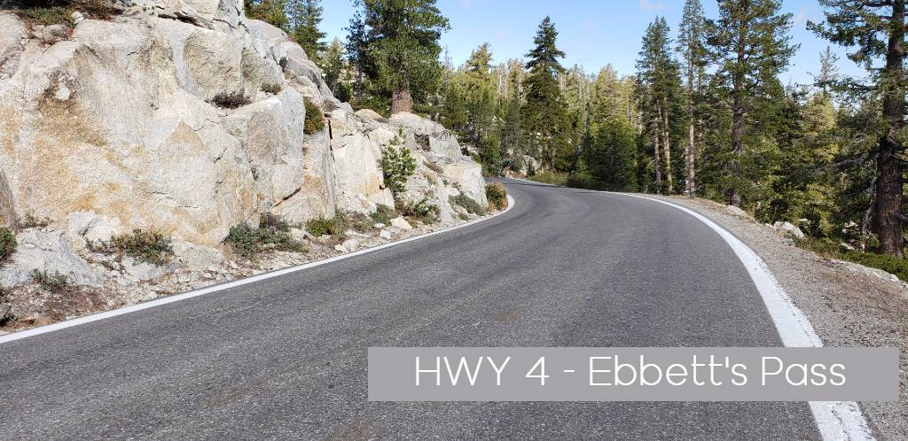
HWY 4 - Ebbetts Pass
HWY 88 - Carson Pass
HWY 50 - ECHO Summit
Hwy 49 - Gold Country
HWY 49 - Yuba Pass
HWY 70 - Feather River
Sierra Scenic Byway
Great Western Divide StRt 33