
The Carson Pass Region: Your Gateway to Backcountry Bliss
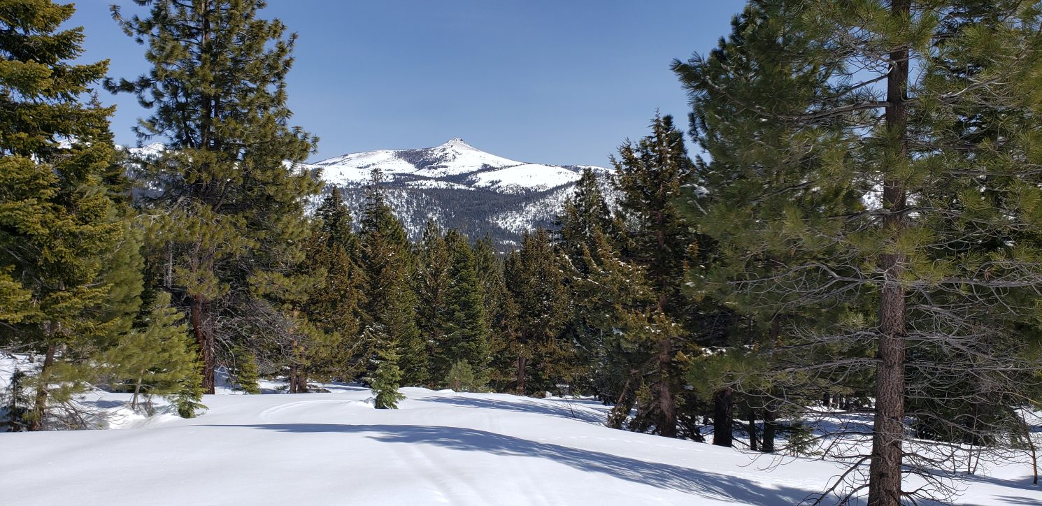
Eldorado National Forest is a hidden gem for backcountry skiing, and the area around Carson Pass, located on Highway 88, serves as a perfect gateway to explore the magnificent terrain of Reds Peak and Stephens Peak. This region is not only accessible but also offers an exceptional range of skiing experiences for all levels of backcountry enthusiasts.
Exploring the Backcountry Skiing Paradise: Reds Peak and Stephens Peak in Eldorado National Forest
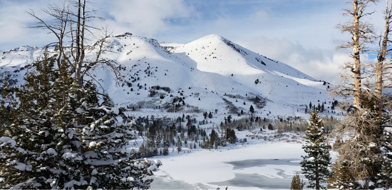
For backcountry ski enthusiasts, you know that sometimes the most extraordinary skiing experiences lie hidden just beyond the boundaries of well-trodden slopes. Nestled within the pristine mountain terrain near Carson Pass in Eldorado National Forest, the backcountry terrain surrounding Reds Peak and Stephens Peak offers an exciting opportunity to immerse yourself in the stunning beauty of the Sierra Nevada, with an elevation change of 4,068 feet and slopes that reach up to 33 degrees. This adventure is not for the faint of heart but promises. a day of great turns and often untouched virgin powder runs and chutes that will leave you begging for another run.
The Elevation Change
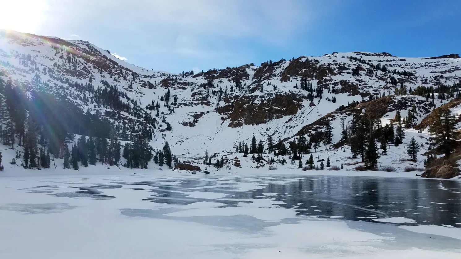
With a remarkable elevation change of 4,068 feet, skiers can venture deep into the heart of the Eldorado National Forest. The sheer magnitude of this elevation change will leave you in awe as you ascend and descend through untouched mountain terrain, breathing in the crisp mountain air and serenaded by nature’s sounds. Nearly identical peaks in height, Reds Peak sits at 10,040′, and Stephens Peak to the East sits at 10,043 feet. The views from the top of either will give you undisturbed views into the Mokelumne Wilderness and Eldorado National Forest surrounding the area. A rush down a variety of terrain, chutes and slopes into Hope Valley to the south or Meiss Country to the North brings locals back day after day for new lines and great visual play.
The Perfect Slopes
For those seeking the thrill of skiing, you’ll be delighted to find slopes with a maximum grade of 33 degrees. These steep and challenging runs are a dream come true for advanced and expert skiers looking to push their limits. The unspoiled powder you’ll find here is a far cry from the well-groomed resort trails, providing a genuine connection to the mountain and a feeling of accomplishment with each turn.

Access Points and Logistics
Eldorado National Forest offers access points for backcountry skiers eager to explore Reds Peak and Stephens Peak. You can opt for roadside parking below Carson Pass, making the start of your adventure convenient and filled with max elevation gain. For added convenience, a permit parking lot at Carson Pass, known as the Meiss Country Trail parking lot on the Northside of 88, gives backcountry skiers a slight boost in starting elevation to Reds Peak and Stephens. While this option requires a California Sno Park Parking permit, it guarantees you a safe and organized place to park, ensuring a hassle-free start to your skiing expedition. Many who park here also enjoy a trek to the south across into Mokelumne wilderness and rides down Elephant Back Peak near Lake Winnemucca.
Safety First
As seasoned backcountry enthusiasts, we understand the importance of safety. Before embarking on your journey, ensure you’re well-prepared with proper avalanche safety equipment, knowledge of the current snow conditions, and an understanding of the local terrain. Always travel with a companion, and make sure someone knows your itinerary and expected return time.
The backcountry terrain surrounding Reds Peak and Stephens Peak in Eldorado National Forest is a skiing paradise that beckons adventurous souls. With its breathtaking elevation changes, challenging slopes, and access to Hope and Meiss Valleys, this is an opportunity to connect with nature and experience the Sierra Nevada like never before. So, gear up, gather your friends, and go to Eldorado National Forest for an unforgettable backcountry skiing adventure.
Following FatMaps Stevens Peak Boundary Line discover a world of stunning backcountry skiing
Fat maps is a great source for mapping this Out of Bounds territory before planning your trip up Highway 88.
