

Explore Sierra County with these great day trips
Sierra County Ca,- A trip to this Central Sierra region can often capture your imagination, as the central Sierra does not seem to have changed much from the days of the California gold rush, when gold seeking argonauts worked the rivers and mountains in search of their fortune.
Sierra County promotes its self as a place where the rivers still run free and the trees & meadows wrap the surrounding mountains in a way that defy contemporary development. Quite frankly this is exactly what I love about this region. As a kid my family would travel up the North Yuba River for weekends camping , fishing and of course panning for a little gold. As an adult I return for a little hiking, fishing, and recreational exploration that feeds my soul.
Sierra County and Sierra Valley in the Central Sierra does not take major planning to enjoy. There are so many recreational opportunities, sometimes it is best just to jump in the car and go. Today I want to provide you with 8 Day Trip Ideas that might make it worth your time to venture out and explore the Sierra County region all on your own.
- Travel the Yuba & Hwy 49 – Yes a good old fashion car trip, stopping at old

historic sites along the way like Downieville, Sierra City and Sierraville. The 49 is trapped in the mountains similar to description given by Sierra County. How to get there:
- From RENO Take Interstate 80 West towards Truckee. At Truckee catch Hwy 89 heading North to Sierraville then Head West on HWY 49 through Downieville , sierra City and into Nevada City. then follow HWY 20 back to the 80 and back to Reno. Total Trip is 215 miles and just over 5 hours if you drive straight through… Not recommended, stop and play make it a great day.
- From Truckee Take Hwy 89 North for about 30 miles till you hit the 49 at Sierraville. Turn West and enjoy the ride. You will exit the trip on HWY 20 in Nevada City and head North to Interstate 80 Home. Trip is 155 miles and just over 3 hours if your drive continually. Plan for a couple stops and make it a great road trip day.
- From Sacramento or the West side of the Sierra – You are going to hit HWY 49 off HWY 20 in Nevada City. From there follow route back to Truckee in Sierraville down HWY 89 to the Interstate 80 and Back home. Total distance on trip is a little variable since there are so many possible starting points. But if you left Roseville Round trip is Approx 229 miles and just over 4 1/2 hours of travel.
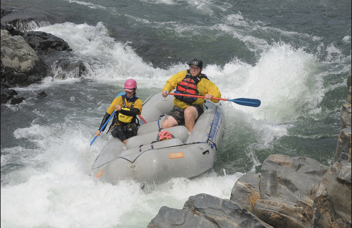
industry. But it doesn’t make it any less fun to sit by a bank and learn to look for gold in the same rivers that prospectors during the Motherlode era did. The South Yuba River still allows Panning on the stream side.
Hike to Sierra Buttes Lookout. it does have over a 2,000 ft elevation gain so is considered a moderate hike. The Trailhead is about 1/2 mile after the end of paved road. Beyond trailhead is OHV-only. Trail is mostly uphill but not too steep with plenty of flat ground. As you approach the first ridge, you’ll see wildflowers & butterflies galore. Around the bend are the Tamarack Lakes, reflecting the sky, clouds, & trees. A little ways farther is Young America lake, which is just as reflective. Finally, you’ll meet up with the 4WD trail that has 4 or 5 switchbacks, and finally reach the bottom of the lookout tower. If you’re afraid of heights, you might not want to climb, but if not, be prepared for the views! Approximately 200 steps later, you’ll be atop the lookout tower, with 360-degree views of the entire Sacramento Valley. On clear days you can see as far as Lassen! You also have a wonderful view of Upper & Lower Sardine Lake.

Trailhead: Highway 80 to Truckee. Exit Highway 89 north to Sierraville. Highway 49 west 10 miles to Bassetts. North on the Gold Lake Highway and 1.5 miles to Sardine Lake/Packer Lake Road. Turn left, cross small bridge, and bear right on Packer Lake Road. Pass Packer Lake and bear left at fork. Follow signs to Pacific Crest Trail trailhead. Continue to small parking area.
Not all mountain biking in Downieville is shuttle accessed. In fact, some of the best trails require you to earn your turns. North Yuba is a prime example. 16 miles in length, this trail offers a great cross-section of the rugged beauty of the North Yuba river canyon. Twisting and turning through lush forest, flowing streams, rocky outcroppings and ribbons of manicured dirt, its makes for an excellent cross-country adventure. Or ride it in sections to get a quick single-track fix. The newest 6-mile section was built by the Sierra Buttes Trail Stewardship. Officially completed in 2011, it connects the existing historic mining trail all the way into the town of Downieville. North Yuba Trail rides great in both directions so it makes for a fun, challenging out and back. Though the trail generally follows the river, expect numerous short, gut-buster climbs and fast, ripping descents. Starting either at the North Yuba trailhead in Downieville or Rocky Rest Campground, simply ride: out and back! Combine with Halls Ranch and Fiddle Creek for a 32 mile epic loop.
There are multiple day hike type loops you can enjoy including a hike to Love Falls which is a very popular easy hike because of its easy access from HWY 49. The Sierra Geo Tourism site has a great summary of hikes in this area.
popular in the mountain lake. Nearby are trails and roads, including the Pacific Crest Trail. Hikers, horseback riders, and mountain bikers find miles of adventure around the lake.

Additional trial information for Sierra County if you are heading that direction and just like to jump out of the car and go on a hike.

