

Sierra Rec Editor – In August of 2022 Death Valley National Park received a 1000 year rain fall event. The flash floods that ensued was swift and destructive stranding hundreds of campers and travelers in the mud and slop that would come to rest on the roads and various attraction areas.
The troubling thing is that there were reports of some navigational apps routing travelers onto primitive backcountry dirt roads to avoid the paved road closures. Now no one can plan for a 1000 year event. Or a powerful snow storm as it buries a Sierra pass. however over the last several years the reports of travelers following their favorite travel apps into very dangerous circumstances has seemed to increase.
From the onset of these stories, I want to blame the poor judgement of the drivers in these circumstances. “Why if Interstate 80 is closed because of snow would you believe that the back road is going to be safe and clear in a blizzard?” However as i was reading the reports out of Death Valley i wonder where the responsibility of the navigation apps comes into play.
Is there a social responsibility to companies like Google Maps, MapQuest, Wave, Backcountry navigator or other similar navigational specialists? As technology advances and apps market there services as trust worthy and reliable solutions, when is there responsibility to close all these alternative route suggestions off when faced with a travel advisory that is weather related?
In 2021 the NY times reported on a story in the Sierra Nevada where Google Maps and Wave app were leading drivers onto the the rugged passage, known as the Quincy-La Porte Road or County Road 511 in Plumas County, Calif. this route is known by locals to be a snowmobile only route in the winter, but at the time was the alternative route suggested by the apps.

And here we are again in 2022 where apparently the navigation apps are sending drivers in Death Valley into rugged back country roads during a flash flood 1000 year rain event. These roads are often only accessible by the best 4×4 drivers in the first place and definitely should not be on any alternative route options if there is weather.
Alternatively in Lake Tahoe work has been done to stoop sending drivers through neighborhoods when traffic backs up on HWY 50. however I do believe this might have more to do with what the police department has done instead of the apps.
I realize in writing this article, that there is no solution to be given. Common Sense from the driver must prevail at some point. It just seems odd that apps such as these which seem to have so much information and access to data, that they could not extend warnings to alternative routes just as easy or simply during a Traffic advisory situation, completely turn off alternative route suggestions if the storm reaches a certain level.
Featured image from Death valley NPS – cars stuck in the mud after 1000 year rain event August 2022.

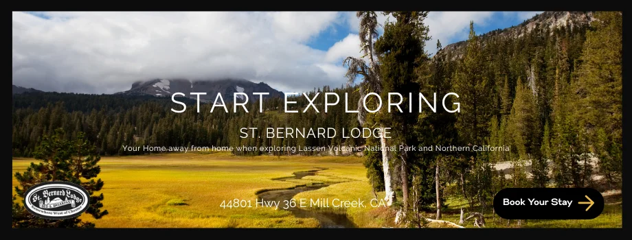