

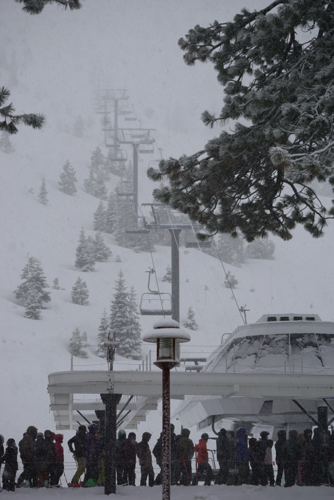
Just when spring started whispering its arrival, winter came barreling back into the Sierra with thunder, lightning, and feet of fresh snow. From North Lake Tahoe to the Central Sierra, this latest storm is putting on a late-season show—and it’s far from over.
At Palisades Tahoe, the storm ramped up overnight with snowfall totals hitting 15 inches at 8,000’ and 5 inches at the base. Winds topped 152 mph at the summit, and it’s been snowing steadily since early Sunday evening. With cold air now locked in, snow levels have dropped to the valley floors, setting the stage for major accumulation across the range.
And that’s just one piece of the story.
Sierra Storm Snapshot
- Snowfall Rates: Up to 2 inches per hour in some areas
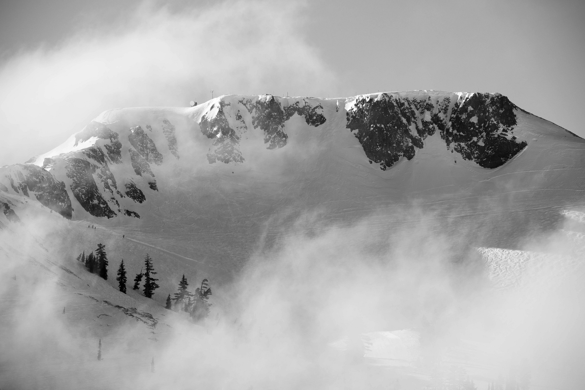
- Winds: 100+ mph gusts over the ridgelines
- Storm Totals Expected: 2–4+ feet by Wednesday in high elevations
- Snow Levels: Dropped below 6,000’—all snow, all the way down
This system is being fueled by a cold Pacific low sweeping through Northern California. What makes it special? The timing. Cold air is arriving during the heaviest snowfall, not after, creating ideal conditions for deep, dry powder instead of heavy spring slop.

Powder Days Ahead
Resorts across the Sierra—from Kirkwood and Sugar Bowl to Mammoth and Bear Valley—are reporting fresh snow and more on the way. Forecast models have trended wetter and colder, and the real action continues through Tuesday night.
By Wednesday morning, many ski areas could see 30–50 inches of fresh snow. Yes, this week. In late March.
Sunshine to Follow
After the storm clears, Wednesday and Thursday bring calmer winds and partly sunny skies—prime conditions for midweek powder laps. Spring skiing? Sure. But this week, it’s going to feel more like a February reset.
Don’t hang up the skis just yet. Winter’s not going out quietly—and this storm proves that the Sierra still has plenty of powder left to give.


