
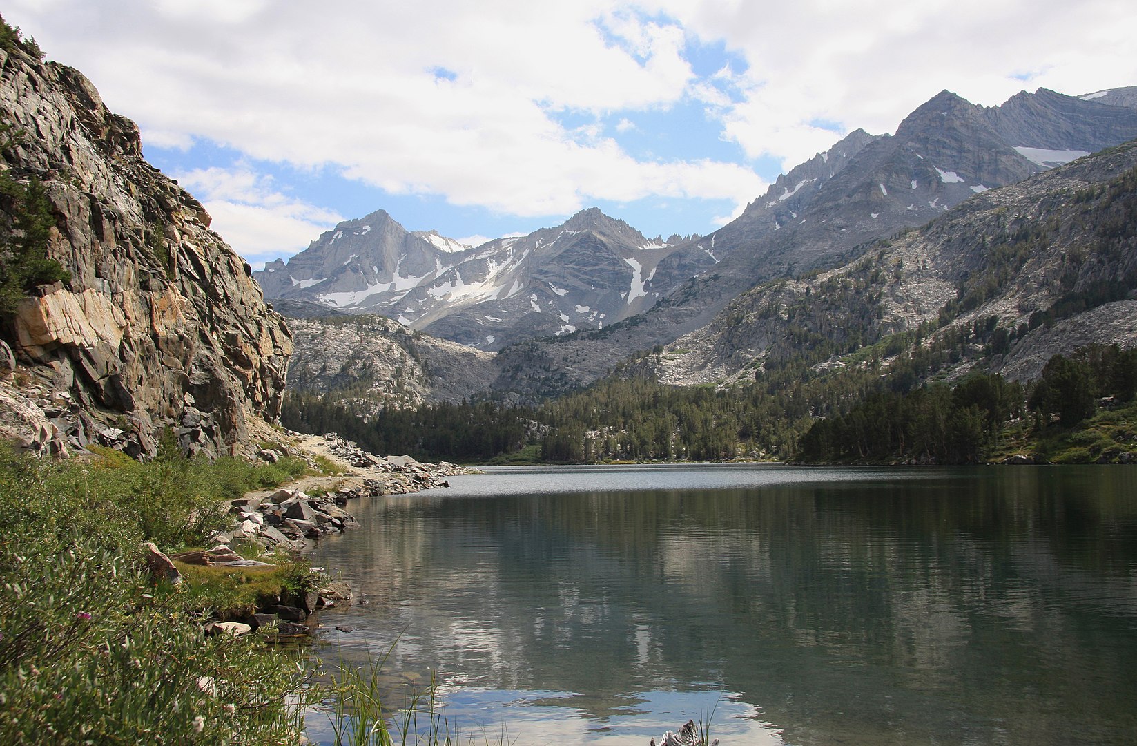
Inyo National Forest and Sierra National Forest share management responsibility for the John Muir Wilderness. Approximately 299,000 Acres (46%) of the its 650,000 acres is managed by INF. It is contiguous with Kings Canyon and Sequoia National Parks, Ansel Adams Wilderness, Golden Trout Wilderness and several other wilderness areas. Together, they constitute one of the largest roadless areas in the lower 48 states.

The John Muir Wilderness is very heavily used. Approximately 30 million people live within a few hours’ drive. Access routes to Sequoia & Kings Canyon National Parks, as well as the iconic John Muir and Pacific Crest Trails, pass through it. High levels of use and the flux of visitors across jurisdictional boundaries require that visitors to adhere to high standards of conduct. Before visiting, familiarize yourselves with jurisdictional boundaries, regulations and appropriate Leave No Trace practices.
INYO National Forest Trails and Access
Hiking
 HIDE
HIDE
Backpacking
- Duck Lake
- Valentine Lake
- Laurel Lakes
- Convict Creek
- McGee Pass
- Hilton Lakes/Creek
- Tamarack Lake
- Mono Pass
- Little Lakes
- Pine Creek Pass
- Italy Pass
- Gable Lakes
- Horton Lakes
- Upper Buttermilk
- Piute Pass
- Lamarck Lakes
- Sabrina Lake
- George Lake
- Tyee Lakes
- Treasure Lakes
- Bishop Pass
- Baker Lakes
- N. Fork Big Pine
- S. Fork Big Pine
- Birch Lake
- Red Lake
- Taboose Pass
- Sawmill Pass
- Baxter Pass
- Golden Trout Lakes
- Kearsarge Pass
- Robinson Lake
- Shepherd Pass
- George Creek
- North Fork Lone Pine Creek
- Mt. Whitney
- Meysan Lakes
- Tuttle Creek
- Cottonwood Lakes
