

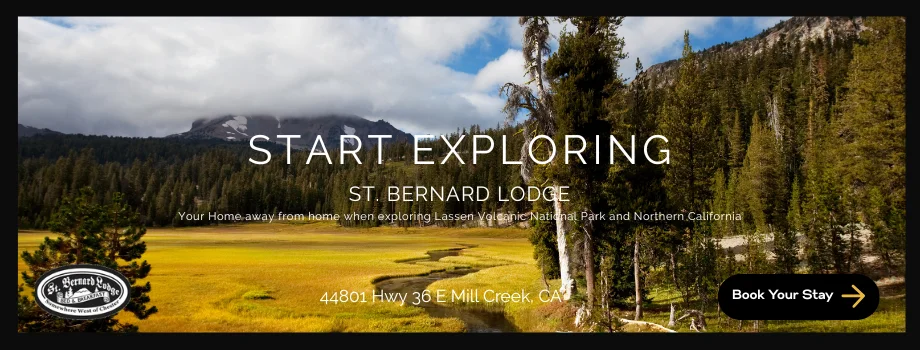
Silver Basin Ski Area was a small ski resort located in the Sierra Nevada mountain range, just off Highway 88 in California. The resort operated for only a short time, from the late 1960s to the early 1980s. Today the resort is more commonly referred to as the Iron Mountain Snow Park. With a little extra time to explore this past week we made a trip into the Iron Mountain Snow Park to explore the relics of this old ski basin.
The ski area was founded by a group of local investors who were interested in bringing winter sports to the area. They cleared the slopes, installed a chairlift, and built a small lodge to serve as a base for skiers. the resort was what was referred to as a reverse ski resort, meaning riders started at the top instead of the bottom. At its peak, the resort had five runs, ranging from beginner to advanced, and a vertical drop of around 500 feet.

Despite its small size, Silver Basin Ski Area was a popular destination for local skiers and families. The resort had a friendly and welcoming atmosphere, and its convenient location near the Bay Area made it an easy weekend getaway. However, the ski area struggled financially, and it eventually closed in the early 1980s. Today visitors who look it up will find a place they can visit and still find remnants of the old lifts still along the slopes and visualize why the mountain could have been a great family winter playground.

As for snowshoeing, this is a great location with gentle slope sand amazing views in multiple directions. It is very popular area for snowmobile, so it is not the location of choice if you are looking for solitude and quiet in the winter. But the views of Echo peaks across the range or Thunder Mountain to the east are spectacular. Unfortunately the slope here were the western fringe of the Caldor Fire of 2021, so much of the forest areas around the ski sloes show great burn scar activity.

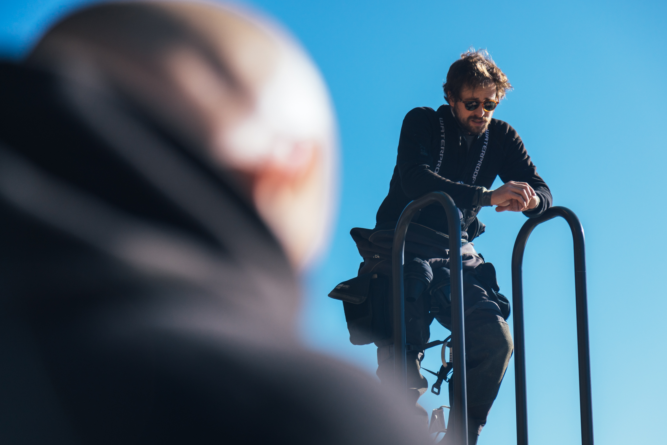
The parking area seemed spacious enough although I wonder on a weekend with many more snowmobile trailers if it might be congested, the walk Easterly out of the parking area takes you up top of the old parking and resort are of the ski resort and to one of the Ski relics. Soon we found ourselves strolling down hill on one of the old runs to what looks like a place that used to be called the nose. Appropriately named as we thought is was very much shaped like a nose off the first slope and when we reached the end it dropped off very quickly over a cliff.
Echo Peaks
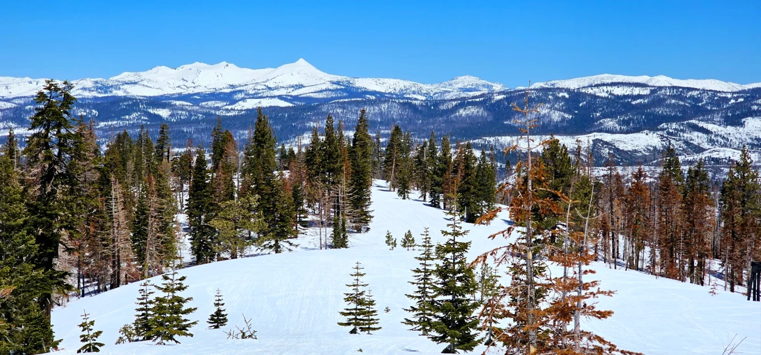
The views of Echo Peaks to the North were stunning on this spring day, (70 degrees in the valley and the snow was melty) We watch hawks soaring below over a meadow that had a small creek running through it below. The mountain Chickadee birds hear didn’t have any interest in eating from our hands like the ones in Lake Tahoe. these little birds were twitter pated today and singing and dancing in the sky around us as we ate lunch before heading back up hill.
As we slogged back up the slope on this warm spring day, we took in the views and discussed the variety of ski runs that surrounded us. It was easy to see that the mountain had bunny runs up to black diamond vertical runs and I wonder if back country skiers still visit in the winter to take runs on the slopes of old Silver Basin resort.
Ill return again someday to explore the Western side of the resort which has many more untouched big trees and seems to climb the ridge to the West of the old resort. Looking at Google maps it also clear that this part of the old Emigrant trail road and their are camping and hiking opportunities here in the summer as well.


