

Park managers are now planning to close the Kings Canyon National Park entrance today, Thursday March 9, at 6 p.m. PST, in addition to the previously announced planned closure of the Sequoia National Park entrance at the same time. This is due to the forecasted atmospheric river storm, which is predicted to bring extremely heavy rain beginning tomorrow evening.
These closures are being put in place to protect public and employee safety. Heavy rain is expected at elevations where there is currently as much as 12 feet of snow on the ground. There is major potential for flooding and serious road and infrastructure damage, in the parks as well as the surrounding communities. We urge the public to act with an abundance of caution if you will be in or must travel through affected areas during the upcoming weather event.
Additional updates, including timeframes for reopening, will be issued as information becomes available. For current conditions, visit go.nps.gov/SEKIconditions. Follow the developing weather predictions at https://www.weather.gov/. For road conditions outside the parks check https://roads.dot.ca.gov/.
-NPS-
About Sequoia and Kings Canyon National Parks
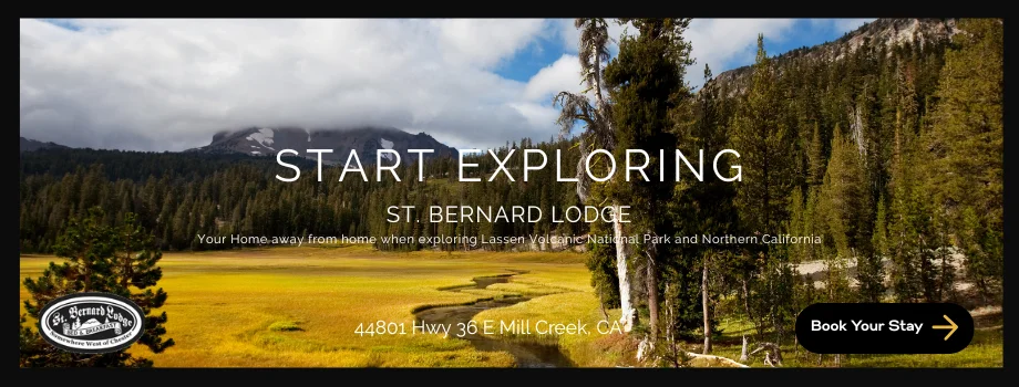
These two parks, which lie-side-by-side in the southern Sierra Nevada in Central California, serve as a prime example of nature’s size, beauty, and diversity. Nearly 2 million visitors from across the U.S. and the world visit these parks for the world’s largest trees (by volume), grand mountains, rugged foothills, deep canyons, vast caverns, the highest point in the lower 48 states, and more. Learn more at http://www.nps.gov/seki

Emergency Alert
Yosemite NP outside of the valley-Upper San Joaquin River-
Kaiser to Rodgers Ridge-Kings Canyon NP-Grant Grove Area-
Sequoia NP-South End of the Upper Sierra-
Including the cities of Tuolumne Meadows, Wawona,
Devils Postpile, Florence Lake, Lake Thomas Edison, Lake Wishon,
Huntington Lake, Shaver Lake, Cedar Grove, Grant Grove,
Hume Lake, Giant Forest, Lodgepole, and Johnsondale
457 AM PST Thu Mar 9 2023

...A WINTER STORM WARNING REMAINS IN EFFECT FROM 4 PM PST THIS
AFTERNOON UNTIL 10 AM PDT SUNDAY MORNING ABOVE 7000 FEET...

* WHAT...Heavy snow expected above 7000 feet. Total snow
  accumulations of 2 to 4 feet from 7000 to 8000 feet. Total
  snow accumulations of 4 to 6 feet from 8000 to 9000 feet.
  Total snow accumulations of 6 to 8 feet above 9000 feet. Winds
  gusting as high as 75 mph.

* WHERE...Sierra Nevada above 7000 feet.

* WHEN...Valid from 4 PM PST this afternoon until 10 AM PDT
  Sunday morning.

* IMPACTS...Travel could be very difficult to impossible. The
  hazardous conditions could impact the morning or evening
  commute. Very strong winds could cause extensive tree damage.


