- Magazine
- Past issues and Flip E-editions
- January 2026 – Before the Trailhead
- Winter issue 2025
- Fall Issue 2025
- July Issue 2025
- Summer Issue 2025
- Spring issue 2025
- Special New Year Edition 2025
- Winter Ski and Snow issue 2024
- Fall Issue 2024
- Summer Issue 2024
- Spring Edition 2024
- New Years Edition 2024
- Winter Adventure Edition – Vol. 18 2023
- Fall Edition 2023 – Vol. 17
- Digital E-Editions
- About Sierra Rec Magazine
- Past issues and Flip E-editions
- Adventure Guides
- Hiking and Backpacking
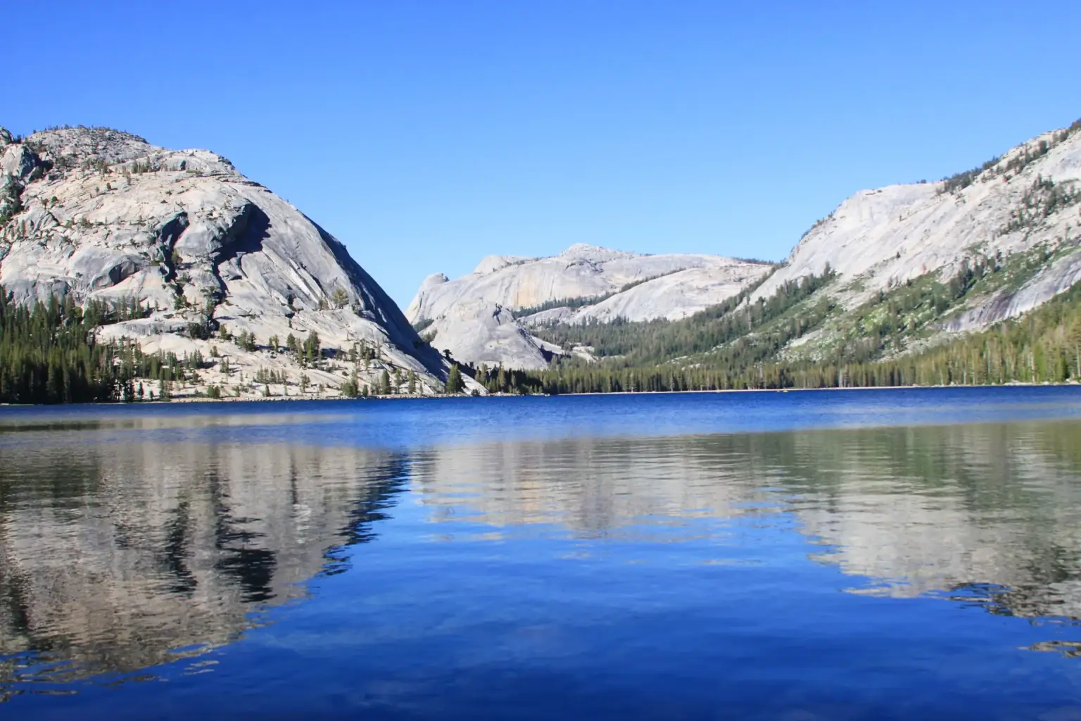
- Yosemite Hiking and Backpacking
- Backpacking the PCT across Desolation Wilderness
- 10 Great Hoover Wilderness Day Hike Excursions
- The Best Backpacking Destinations in Ansel Adams Wilderness
- Top 10 Backpacking Trails John Muir Wilderness
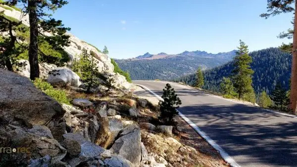
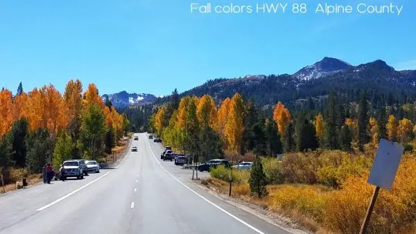
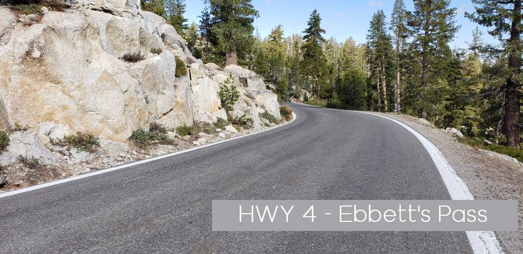
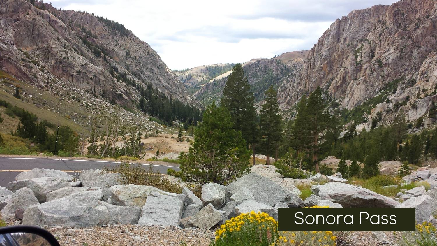
- Ebbetts Pass: Your Gateway to Sierra Adventure
- The California Sierra – The Magic of Light and Discovery
- Hiking the Sierra
- Sierra Nevada Trails
- The Pacific Crest Trail
- Tahoe Rim Trail
- Mammoth Lakes Trails
- Embark on a Historic Odyssey: The High Sierra Trail
- Carson City Trails
- Best Lake Tahoe Day Hikes
- Hiking the Rubicon Trail in South Lake Tahoe
- American River Canyon Trails – Auburn State Recreational Area
- Plumas County: A California Hiking Wonderland Awaits
- Exploring the Lakes of Pyramid Creek ~ A Desolation Wilderness Adventure
- A Great Five Lake Day Trip into Desolation Wilderness
- HIKING DESOLATION WILDERNESS GLEN ALPINE TRAILHEAD
- WOLF CREEK TRAIL | CARSON ICEBERG WILDERNESS
- FEATHER FALLS NATIONAL RECREATIONAL TRAIL – PLUMAS NATIONAL FOREST
- Camping The Sierra Nevada
- Camping In Lake Tahoe
- Camping in Eldorado National Forest
- Ice House Reservoir Camping & Hiking Guide
- Camping Near Markleville California
- Camping and Lodging Plumas National Forest
- Camping Near Mammoth Lakes: The Ultimate Guide
- Camping Near Mono Lake – Inyo National Forest
- Camping Near Crowley Lake, Bishop, and Lone Pine: The Ultimate Guide
- Camping at Pinecrest Lake: A Complete Guide for Your Outdoor Adventure
- Fishing the Sierra Nevada
- Wilderness Adventure Guides
- Explore Carson Iceberg Wilderness
- Explore Mokelumne Wilderness
- Explore Desolation Wilderness
- Exploring Hoover Wilderness
- Explore Ansel Adams Wilderness
- Explore John Muir Wilderness
- Emigrant Wilderness
- Explore Granite Chief Wilderness
- Explore Golden Trout Wilderness
- Exploring the Dinkey Lake Wilderness
- Explore the Caribou Wilderness of Northern California
- Explore Bucks Lake Wilderness
- Jennie Lakes Wilderness
- Golf Courses
- Calaveras County Golf
- Golfing Guide to Lake Tahoe: North vs. South Shore Courses
- Edgewood Golf & Country Club in Lake Tahoe
- Golf the Divine Nine: Carson Valley and Carson City, Nevada
- Genoa Golf Courses
- Coyote Moon Golf Course in Truckee, California
- Old Greenwood Golf Course in Truckee, California
- Golfing Guide to Mammoth, California & the Eastern Sierra
- Guide to Mountain Biking Adventures
- Guide to Cycling in the Mountains
- Skiing / Snowboarding
- Snowshoeing the Sierra
- Snowmobiling the High Sierra
- California Sno-Parks
- Rock Climbing Tahoe
- Lifestyle Features
- Hiking and Backpacking
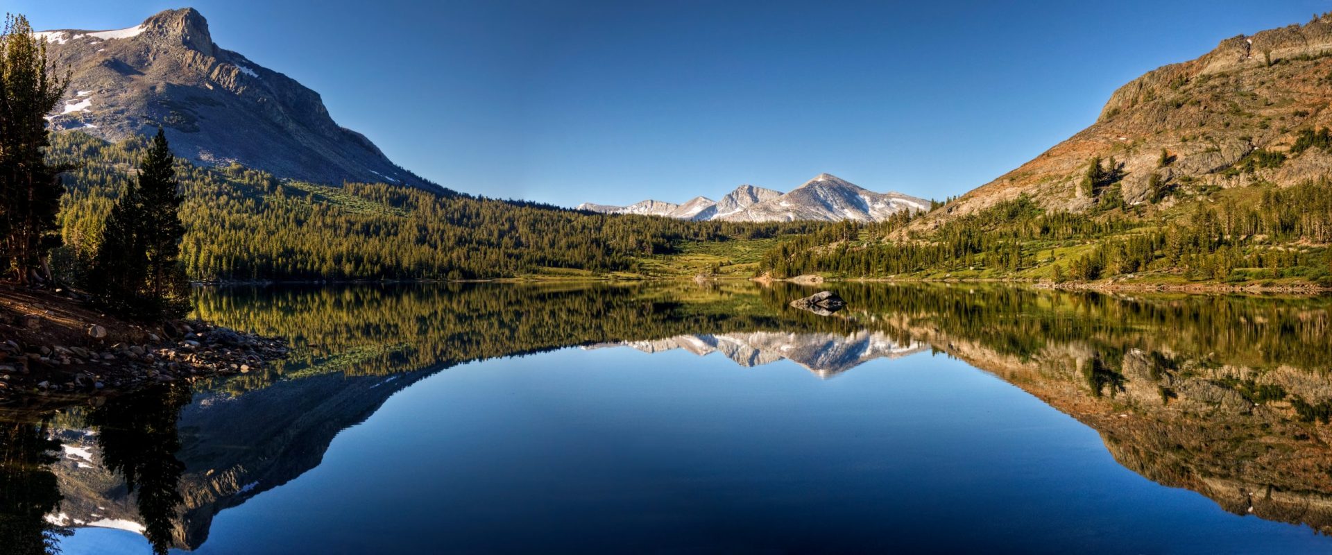
- Scenic Destinations
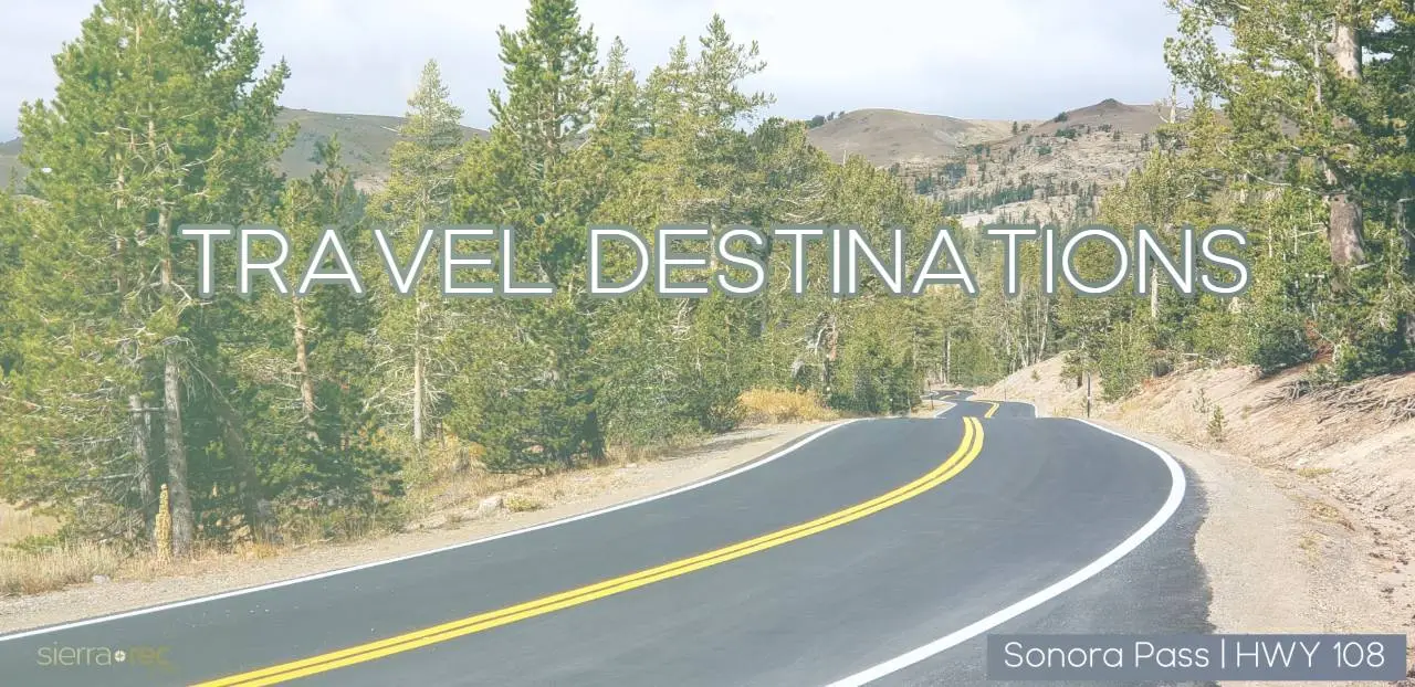
- Sierra Travel and Destination Guides
- Sierra Base Camps
- Explore Lake Tahoe Reno
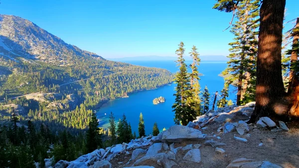
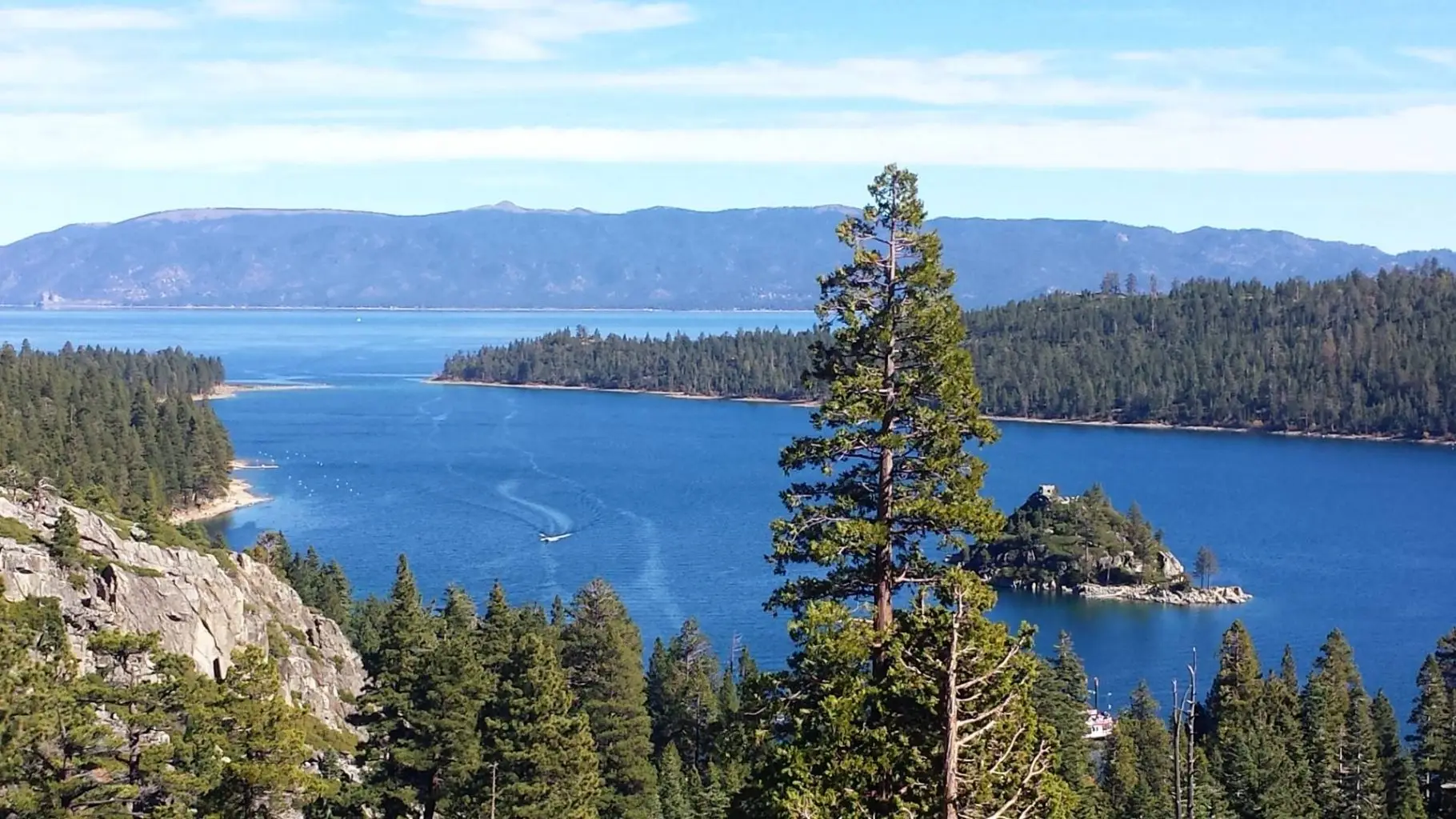
- Emerald Bay State Park Guide
- Explore & Visit South Lake Tahoe
- Explore North Lake Tahoe
- Explore Reno
- Visit and Explore Virginia City
- Explore Desolation Wilderness
- Chickadee Ridge
- Echo Summit Recreation
- Donner Summit Recreation
- Explore The Carson Valley
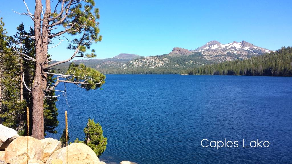
- Explore Alpine County
- Visit and Explore Virginia City
- The Eastern Sierra
- Explore Mammoth Lakes California
- Convict Lake: Spirits, Shootouts, and Spectacular Scenery
- Crowley Lake: An Eastern Sierra Icon for Recreation and History
- Explore Bridgeport
- Discover the Timeless Beauty of Bishop, California’s Ancient Bristlecone Pine Forest
- Discover Owens Valley & Bishop
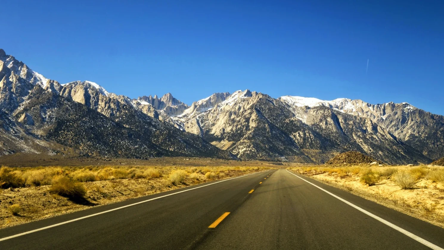
- Discover Lone Pine & Alabama Hills
- Discover June Lake, Lee Vining & Mono Lake
- Northern Sierra
- Southern Sierra
- Western Sierra
- National Parks
- Plan Your Trip
- Gear Reviews
- Podcast
Select Page